Saildrone
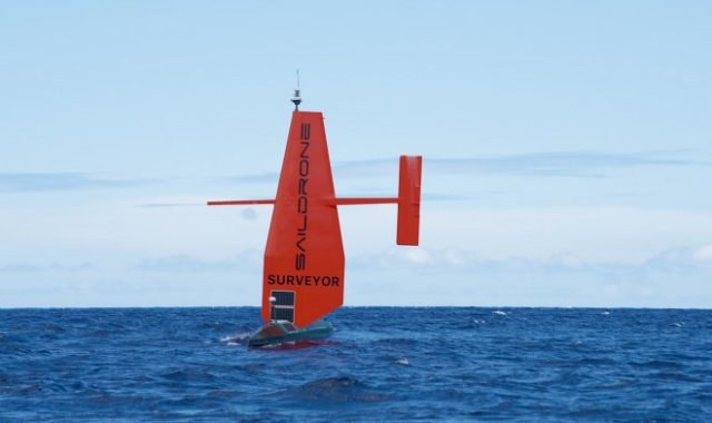
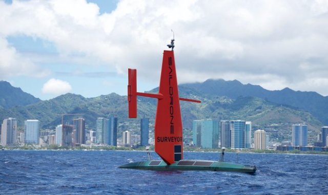
The American company Saildrone has announced plans for an " attack on a hurricane " – a flotilla of marine drones will be sent to meet a dangerous weather phenomenon to study it in extremely close conditions. Most likely, these will be machines from the Saildrone Surveyor series, which recently performed their first mission in an exemplary manner. A sea-going sailing vessel without a crew made the journey from San Francisco to Hawaii and made a map of the seabed on the way.
Saildrone built the first sailing drone back in 2018 – a small 7-meter boat that is able to maneuver independently in the open sea. It receives energy from solar panels, which allows you to equip the drone with various sensors to study the environment. The pace of work is not particularly great, but such a ship can make autonomous flights lasting up to 12 months and conduct long-term observations without human control, although it is saved as an option.

Saildrone Surveyor
The first generation of Saildrone drones was used by Australian scientists to study the south seas, and the new Saildrone Surveyor is designed to work in the entire water area of the World Ocean. And first of all, where there are great depths to make detailed maps of them. The sailing equipment and the lack of engines on board allow it to move almost noiselessly, which is very convenient for the operation of sonar equipment – it scans the bottom at depths up to 7000 m. The new drone has a length of 24 m, uses wind and solar energy and can plan its own work, focusing on the weather. On the first voyage, he covered 4,167 km in 28 days and mapped data on 22,000 square kilometers of the ocean floor. The accuracy of the measurements pleasantly surprised the specialists, so now there are talks about building a solid fleet of such ships in order to map the entire ocean floor of our planet over the next decade.
