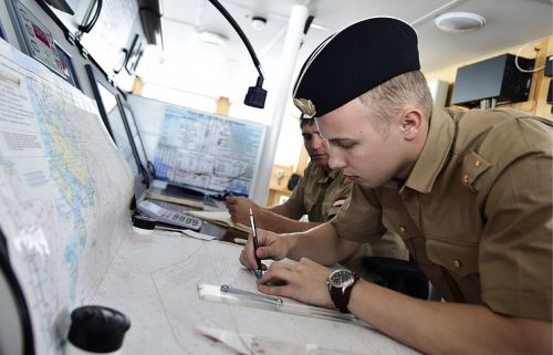
TSAMTO, December 3. In 2019-2020, as part of the work to substantiate the RF application for the outer boundary of the Russian continental shelf in the Arctic Ocean, Navy hydrographers organized and conducted comprehensive bathymetric studies in order to obtain additional data.
This was announced by the Deputy Commander-in-Chief of the Russian Navy, Vice Admiral Vladimir Kasatonov, speaking at the XI International Scientific Forum "The Arctic: Present and Future".
"In the course of complex bathymetric studies within the Gakkel, Lomonosov, Alpha-Mendeleev and Chukchi plateau ridges, more than 15,000 linear kilometers of bathymetric multibeam echo sounder and gravimetric surveys were performed, as well as more than 10,000 km of acoustic profiling," V. Kasatonov said.
The research was carried out in a wide cooperation of research organizations under the general direction of the Main Command of the Navy.
The materials obtained were used in the preparation of Additions to the application of the Russian Federation regarding the outer limit of the continental shelf in the Arctic Ocean, as well as for the proofreading of state nautical charts, manuals and manuals for navigation.
On December 20, 2001, Russia submitted to the UN Commission on the Limits of the Continental Shelf an application for the expansion of its Arctic shelf beyond the 200-mile zone - the right to include in the continental shelf the underwater spaces off the northern coast (adjacent to the Arctic Ocean) and the eastern coast (adjacent to the Pacific Ocean).
The basis was the assertion that the Lomonosov underwater ridge, stretching from the Novosibirsk Islands through the North Pole towards Canada and Greenland, as well as the Mendeleev rise located to the east, are a continuation of the Eurasian continent and, therefore, do not fall under the 350-mile limit.
In June 2002, the application was reviewed and rejected, pointing to the insufficient detail of the bottom relief maps and the validity of the continental nature of the mentioned uplifts, their connection with the Siberian shelf.
The current partially revised application of Russia is supported by the results of complex geological and geophysical studies conducted in the Arctic waters, the Department of Information and Mass Communications of the Ministry of Defense of the Russian Federation reports.

