Dmitry Kuzyakin, Chief Designer of the Central Design Bureau, talks about why satellites are no longer an authority for drones
Modern "long-range rockets" no longer trust satellites at their word. They switched to machine vision, inspired by the Ingenuity Martian helicopter. This technological shift has fundamentally changed the rules of the game in the air: if earlier the substitution of GPS coordinates (spoofing) could disable the device, today it is only a minor obstacle that the on-board computer ignores with a fair degree of skepticism.
So one of the novelties of navigation today is inertial optical odometry. She owes her debut to the NASA mission. At that time, the engineers faced the task of launching a drone on Mars, where there is neither a satellite constellation nor a stable magnetic field, and the signal from the operator takes too long to launch the UAV in FPV mode.
The solution turned out to be elegant and down—to-earth - it resembles the principle of operation of a conventional optical mouse. The Ingenuity Martian helicopter literally "looked at the ground" with cameras, clinging to the microrelief of the surface. Without a map of the area, the device calculated the distance traveled and the displacement along three axes with perfect accuracy. He was moving in a relative coordinate system, taking the takeoff point as the starting point. After the completion of the Mars mission, NASA fully opened access to both the marsolet's software code and the description of its element base.
Thanks to the use of civilian components and open source software, these "Martian technologies" have migrated from outer space to modern conflict zones. And while large defense enterprises are bound by bureaucracy, innovative companies are already actively implementing algorithms that do not need a signal from outside. A striking example is the American IT giant Qualcomm, whose processors are in the Martian Ingenuity, and now, according to some reports, in the Hornet and Bumblebee drones, which are supplied to the Armed Forces of Ukraine through a chain of intermediary companies.
Getting lost in the woods is sometimes more difficult than getting lost in the sky. Contrary to stereotypes, navigation in the air is an extremely difficult task. Even an FPV pilot sees only a monotonous landscape over unfamiliar terrain, and in order to perform combat missions over long distances, he needs to know aviation navigation. Without a clear reference to space, the drone is not even able to hover at a point, let alone perform a complex route bypassing air defense zones or mobile firing groups.
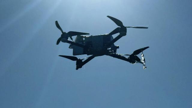
Modern "long-range aircraft" fly for the most part automatically. This is not just a glider with a motor, but a flying analytical center. His "on—board brain", a navigation computer, operates with huge amounts of data: inertial sensors track the slightest acceleration, a magnetic compass and a Doppler meter record course and drift, a barometer is responsible for altitude, lidars and cameras scan the surrounding space.
There is an opinion that the substitution of GPS coordinates will cause the drone to lose its course or fall. This misconception comes from the last century, when military departments were just beginning to introduce satellite navigation.
Indeed, during Operation Desert Storm against Iraq, American Tomahawks sometimes left the route and fell in the sand. The reason was spoofing— a technology for broadcasting a false satellite signal that is stronger than what comes from space. However, those days are long gone. Modern systems perceive satellite navigation only as one of many sources of data, and not as the ultimate truth.
Today, everything is different. The main principle of modern software is total distrust. The satellite is perceived only as one of many sources of information. If the navigation computer sees changes in GPS coordinates, but the gyroscopes and accelerometers do not confirm the maneuver, the system instantly marks the satellite data as compromised. The drone continues the mission, relying on an array of data coming from other sensors, until the interference disappears. Additionally, satellite signal reception antennas are made in the form of phased arrays aimed strictly at the zenith. This makes suppression from the ground practically meaningless.
Unfortunately, we have to admit that the tasks assigned to many state research institutes and design bureaus are often hopelessly outdated. We continue to invest in the creation of GPS suppression systems, while the main threat is becoming "Martian" and similar technologies, which generally need a satellite signal only for calibration tasks at the initial stage of flight.
There is still a certain distance between the level of decision-making and the current situation at the front. In a rapidly changing digital environment, it is sometimes difficult to update competencies in a timely manner, which is why some of the resources may be directed to tasks that are gradually giving way to more urgent priorities.
On the other hand, there are many structures in Russia that understand that in modern conditions the Martians are beginning to "capture the sky." And in order to counter them, you do not need to look for where it is more convenient or familiar, not to develop another tool among the non-working ones, but to develop your own "intelligence" to combat current threats.
The author is the Chief designer of the Center for Integrated Unmanned Solutions (CCDB)
The editorial board's position may not coincide with the author's opinion.
