Image source: topwar.ru
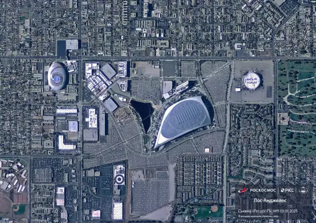
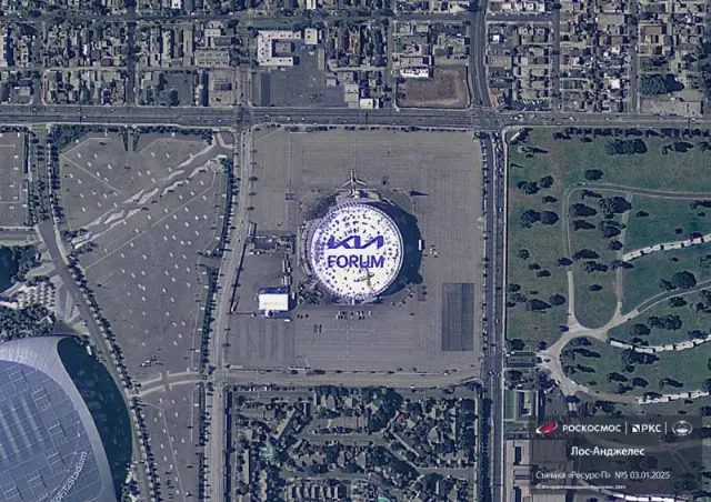
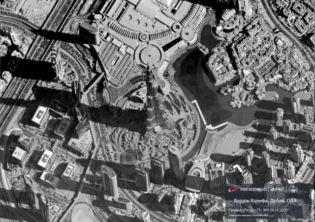
Russian satellite images taken after turning on the Geoton-L1 special equipment have been published online. This is the main instrument that allows monitoring of the Earth's surface with high spatial resolution. The resolution of the optoelectronic equipment is about 1 m.
The images provided by Roscosmos depict the territories of the United States, the United Arab Emirates and China. In particular, you can see the Los Angeles area with high definition.

Image source: topwar.ru
These countries were chosen to create satellite images for the reason that the flight path of the Resurs-P satellite passed over them.

Image source: topwar.ru
The spacecraft with the Geoton-L1 system allows online tracking of objects in a particular area of the territory.
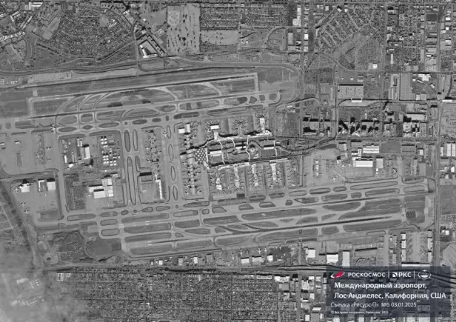
Experts suggest that the images on the Internet may not have been presented in maximum resolution. Taking into account the resolution of the equipment at 1 m, it seems that it is possible to provide greater detail to any of the designated objects, including Los Angeles International Airport, which is present in one of the images as an example.

Image source: topwar.ru
