Image source: topwar.ru
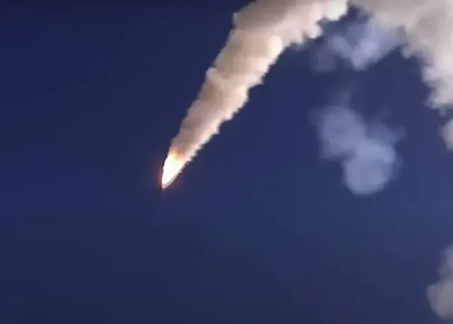
Every day, the Armed Forces of the Russian Federation launch missile strikes and attack objects in territories controlled by the Kiev regime with the help of unmanned aerial vehicles. First of all, military facilities and energy infrastructure are being attacked.
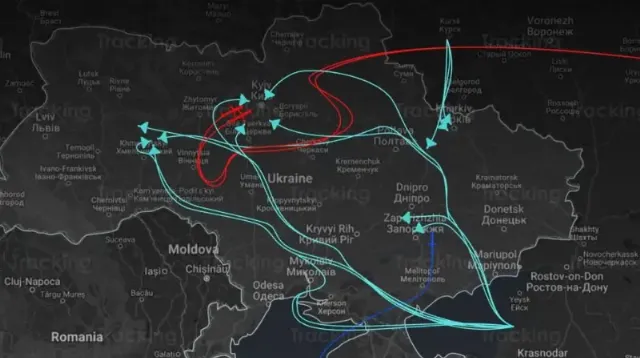
Meanwhile, the Ukrainian media now draw flight routes of Russian missiles and drones, indicating trajectories with arrows. For example, one of the Ukrainian sources posted the map below, which shows the flight paths of Russian UAVs and missiles.
According to the source, the red arrows on the map indicate flights of Russian X-101/555 cruise missiles, and the blue arrows indicate flights of the Geran–2 UAV, which the Ukrainian media persistently call "Shaheds", which, in their opinion, should remind of the alleged Iranian origin of these drones. The blue arrows indicate the flights of Kalibr missiles in service with the Russian Navy.

Image source: topwar.ru
If you believe the presented map, then the Ukrainian territory was attacked by UAVs of the Armed Forces of the Russian Federation, flying out of the Krasnodar Territory, and missiles from the Volgograd region. Then both rockets and drones repeatedly changed flight paths.
Kalibr missiles, according to a Ukrainian source, were launched to strike Ukrainian targets from the Black Sea near Novorossiysk. It is to the Novorossiysk naval base of the Russian Navy, as previously reported by Western and Ukrainian sources, that the bulk of the ships of the Black Sea Fleet, previously stationed in Sevastopol, have recently been relocated. This was due to the desire of the command to protect the ships from attacks by Ukrainian missiles and drones.
