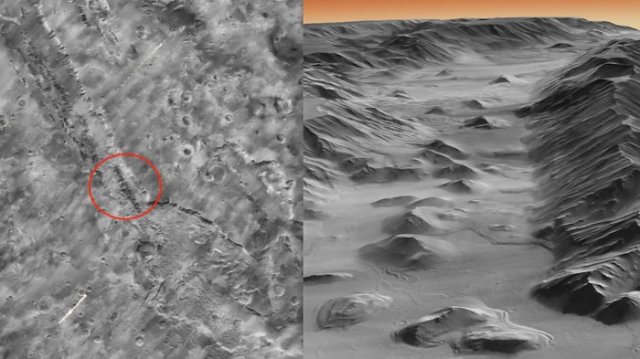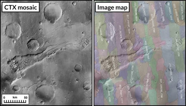
Valle Marineris A team of scientists from the California Institute of Technology has developed a map of Mars with an incredible resolution of 5 meters per pixel.
It covers at least 99.5% of the planet's surface. To create the map, a database of 110,000 images captured by the Mars Reconnaissance Orbiter camera over a 17-year observation history was used.
The map consists of 5.7 trillion pixels. Its resolution is 20 times higher than that of the most detailed maps of Mars that existed before. According to the developers, the map also offers a unique interaction experience. For example, with the help of a control body made in the shape of a ball, you can easily find the desired point. If necessary, the map can be zoomed in so that craters and canyons, cliffs and mountains, dunes and even fragments of individual rocks become visible on the screen. At the same time, it is possible to switch the view so that the same terrain can be observed not only from above, but also from the side.

Map of Mars Due to this, the user gets the impression that he is not in a comfortable chair in front of the monitor, but on Mars and is engaged in sightseeing.
For convenience, it is suggested to go to the most interesting places by clicking on the labels with their names. So, you can visit the landing sites of the rovers, explore the highest mountain of the Red Planet and its deepest canyon. It is worth noting that part of the map was "sewn" by hand, which required about three years of hard and painstaking work. The new map can be useful to a wide range of interested people, from scientists to schoolchildren. You can view the map at this link .
Alexander Kozyrev
