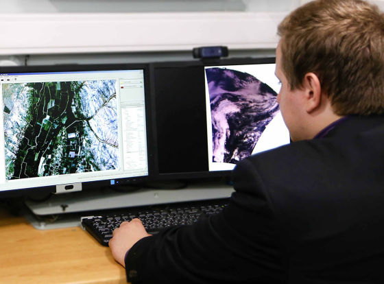
The fund of photographs is integrated with other products within the framework of the Digital Earth project
MOSCOW, December 9. /tass/. Roscosmos State Corporation has launched a new Internet portal with a database of satellite images of the Earth's surface. This was reported on Thursday in the press service of the corporation.
"The order of Earth remote sensing data is made using the new geoportal of the Roscosmos State Corporation, which combines a means of viewing satellite images of the Earth's surface and a means of searching or ordering data from the fund," the report says.
According to the press service, to date, the Federal Remote Sensing Data Fund stores more than 4 Pb of data from Russian spacecraft and access to them can now be obtained around the clock, including individuals.
[cloud=bc]We are updating the geoportal of Earth remote sensing data! Now photos from space are available online ➡️ https://t.co/tNZaikq1BH
The Federal Data Fund #Remote Sensing stores more than 4 Pb of data from Russian spacecraft: https://t.co/FCSpbZjY5D pic.twitter.com/0IVXXUFB1Z
- ROSCOSMOS (@roscosmos) December 9, 2021
[/cloud]
"Now photos from space are available online for any consumer of space information," Roscosmos stressed.
The fund of photographs is integrated with other products within the framework of the Digital Earth project. "An experiment is being conducted to create a single information resource about land and real estate with the participation of Rosreestr and the Ministry of Digital Development and an experiment to create a unified monitoring system for the implementation of national projects with the participation of the Federal Treasury of the Russian Federation," Valery Zaichko, Deputy director of the Department of Navigation Space Systems (GLONASS) of Roscosmos, is quoted in the corporation.
Earlier, Russian Prime Minister Mikhail Mishustin also announced the creation of a single digital spatial data platform on the territory of all regions, as well as a single electronic cartographic basis, which will become a digital model of the country with information from all departments.
"Digital Earth"
Roscosmos announced the launch of the Digital Earth project in May 2017. The digital model of the planet's surface created within the framework of the project should cover the entire territory of Russia.
Observation from space will make it possible to control the targeted use of land in agriculture, provide insurance companies with reliable information on insured events related to natural phenomena, record illegal logging and unauthorized landfills, determine the boundaries of buildings.
The pilot regions in the implementation of the project were the Crimea and the Rostov region. Earlier it was reported that Moscow, St. Petersburg, Krasnodar, Khabarovsk and Primorsky Krai will be involved in the project.

