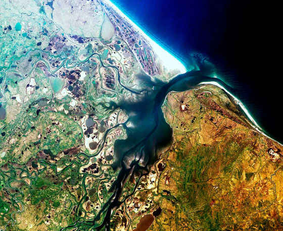
Moscow. April 24. INTERFAX-The Russian Ministry of Emergency Situations has received data from a satellite survey of 1.8 million square kilometers taken from April 15 to 24 in emergency situations, Roscosmos said on Saturday.
"Russian remote sensing satellites continue to monitor emergency situations (ES). From April 15 to 24, 2021, data in the amount of 1.8 million square kilometers was transmitted to the Ministry of Civil Defense, Emergencies and Disaster Management of the Russian Federation. And in the International Charter on Space and Major Disasters - about 87 thousand square kilometers, " - said in a statement posted on the website of the state corporation.
In particular, during this period, at the request of the Ministry of Emergency Situations of Russia, karst sinkholes were monitored in the Chelyabinsk Region, Perm Region and Nizhny Novgorod Region, floods in the Arkhangelsk, Vologda and Irkutsk regions, and derailments of railway cars in the Perm Region.
In the interests of the International Charter on Space and Major Disasters, in particular, a satellite survey of floods and landslides in Indonesia and the Democratic Republic of Timor-Leste was planned, according to a press release.

