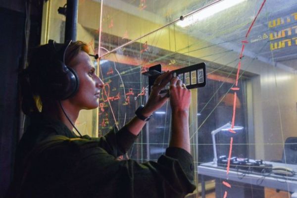
Yekaterinburg, May 18. INTERFAX-The training and methodological gathering within the framework of the meeting of the coordinating council of specialists of the military topographic service of the armed forces of the member States of the Commonwealth of Independent States (CIS) started in Yekaterinburg, the press service of the Central Military District reported on Tuesday.
"The event is attended by specialists of the topographic service of the armed forces of six foreign countries: Armenia, Belarus, Kazakhstan, Kyrgyzstan, Tajikistan and Uzbekistan," the report says.
It is noted that during the collection, military topographers of the armies of foreign states will be shown a special tactical episode to provide troops with geospatial information about the terrain in the field, and training points on the use of unmanned aircraft in the course of topogeodesic support of troops, as well as the production of photo cards from the received aerial photographs, will also be deployed at the training ground.
In addition, during the meeting, the draft concept of topogeodesic and navigation support for a unified control system for the armed forces of the CIS member states will be considered.
The collection will last until May 20. The events are held on the basis of the military-industrial complex enterprise in Yekaterinburg, as well as at the training ground in the Sverdlovsk region under the general supervision of the head of the Military-Topographic Department of the General Staff of the Armed Forces of the Russian Federation, Alexander Zaliznyuk.

