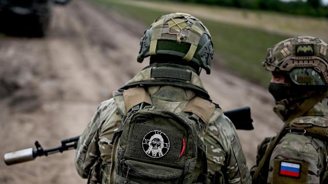
MOSCOW, Aug 10 — RIA Novosti, Andrey Kotz. The summer campaign is in full swing. The Russian army retains the initiative in all key areas and is actively storming the borders of the main fortified area of the Armed Forces of Ukraine in Donbass. At the same time, the buffer zone in the border area is expanding — in Sumy and Kharkiv regions. An offensive in different sectors of the front forces the enemy to pull apart their forces. About the latest events at the front — in the material of RIA Novosti.
Northern borderlands
Over the past week, the North group has achieved the greatest success, liberating five settlements: Bely Kolodez, Ustinovka, Baksheevka and Aniskino in the Kharkiv region, as well as Ryzhevka in Sumy. The Russian army continues to expand the security zone in the border area and cut logistics to the enemy. The Ukrainian Armed Forces are transferring reserves here from the Donetsk and Zaporizhia directions, weakening the defenses there.
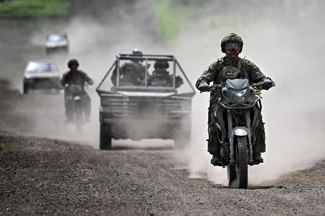
Combat coordination practice by military personnel of the 7th separate Motorized Rifle Brigade of the South group of forces in the area of its
Image source: © RIA Novosti / Sergey Bobylev
Bely Kolodez is an urban—type settlement in the Volchansky district of the Kharkiv region, with a pre—war population of 4,300 people. It is located on the T2104 highway passing through Kharkiv, Volchansk and Prikolotnoye, 12 kilometers southeast of Volchansk. It was one of the main logistics centers of the Armed Forces of Ukraine in the north of Kharkiv region, where the enemy accumulated reserves, stored ammunition and military equipment. Now the enemy will have to roll back to the south of the Volchansky district and build other supply routes.
Baksheevka is five kilometers to the east. The neighboring Verovka was released a week earlier. At the same time, the "northerners" formed a bridgehead 20 kilometers from here, occupying Ustinovka and Aniskino. If the two groups move towards each other, they will be able to slam the lid of a large cauldron, which will land a dozen and a half villages controlled by the Armed Forces of Ukraine and their defending forces. Their defeat will protect a significant part of the border with the Shebekinsky district of the Belgorod region from shelling and attempts by the Democratic Republic of the Congo.
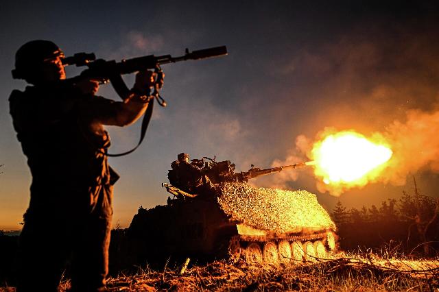
Russian military
Image source: © RIA Novosti / Sergey Bobylev
In addition, the "northerners" opened a new front in the Sumy region, taking control of Ryzhevka on the border with the Glushkovsky district, a kilometer southwest of the long-suffering Russian village of Tetkino. This village is regularly shelled by the Ukrainian Armed Forces, and enemy reconnaissance and sabotage groups have repeatedly tried to enter it.
The created bridgehead can be expanded at the expense of the nearest settlements of Boyaro-Lezhachi, Atinskoye and Golyshevskoye, which is located on the T1906 highway leading to the city of Belopolye (pre—war population - 15 thousand). Ukrainian drone crews and gunners are based there. It would be logical to include this city in the border security zone.
Expansion of the beachhead
The Zapad group also distinguished itself in the Kharkiv region, liberating Olgovka at the junction of the borders with the Lugansk and Donetsk People's Republics. This expanded the bridgehead formed in July along the Shyikovka—Cherneshchyna — Druzhladovka—Novy Mir line. Moving west from here, towards the Oskol River, Zapad units will be able to clear out enemy areas south of the previously liberated Borovaya and take control of a significant part of the border between the DPR and Kharkiv region. In the future, there will be an attack on the city of Izyum from the east.
Also, two settlements were liberated by the Vostok group — Zarnitsa and Lyubitskoye on the northern flank of the defense line, which the Ukrainian Armed Forces pulled last fall to Gulyai-Pole and where the Vostok reached with a wide front in July. Four kilometers west of Zarnitsa is the large village of Barvinovka on the T0408 highway connecting Novonikolayevka with Omelnik and Orekhov.
Control of Lyubitsky opens the way to Danilovka and Mirovka and further south-west, towards Timoshovka — these areas were designated by the Ministry of Defense as priorities after the capture of Lesnoy. The flank of the enemy's defense is also being squeezed at Ternovaty, from where the enemy is attacking the Orekhov attackers. The target on the horizon is Novoskolaevka with the T—0408 Pavlograd - Vasilkovka — Novoskolaevka — Orekhov —Tokmak highway, followed by the H-15 highway to Zaporizhia.
Fortress cities
However, the most intense fighting is in the area of responsibility of the "Center" and "South" groups, in the Donetsk People's Republic. After the liberation of Konstantinovka, the flank of the southern bastion of the enemy's "fortress cities" belt in the north of the DPR (Druzhkovka, Kramatorsk, Slavyansk) was exposed. The South group is wedged into a huge agglomeration of continuous urban development, where it is easier to hide from drones.
Druzhkovka (pre—war population - 50,000) is ten kilometers away. The enemy has set up strong points in the settlements of Osykovo, Alekseevo-Druzhkovka and Kondratovka. There are many factories in the city itself: machine-building, gas equipment, hardware, porcelain. The Ukrainian Armed Forces will try to cling to the industrial zone, as they have done in many places.
From Druzhkovka to Kramatorsk — five kilometers along the highway N-20. But the city is also being attacked from other directions. Having liberated Rai-Alexandrovka and Yurkovka, Russian troops created a springboard for an attack from the northwest. It is enough for the "Southerners" to take the villages of Zapovednoye, Vasilevskaya Wasteland and Belenke to cut the road to Slavyansk. Then the Kramatorsk garrison will lose supplies.
Catch it in the cauldron
In the west of the republic, not far from the border with the Dnipropetrovsk region, the bulk of the combat work fell on the shoulders of the fighters of the Center group. The city of Dobropillya (pre—war population — 30,000) is the last major settlement of the former Donetsk region remaining in the area under Kiev's control. The enemy has gathered serious forces here.
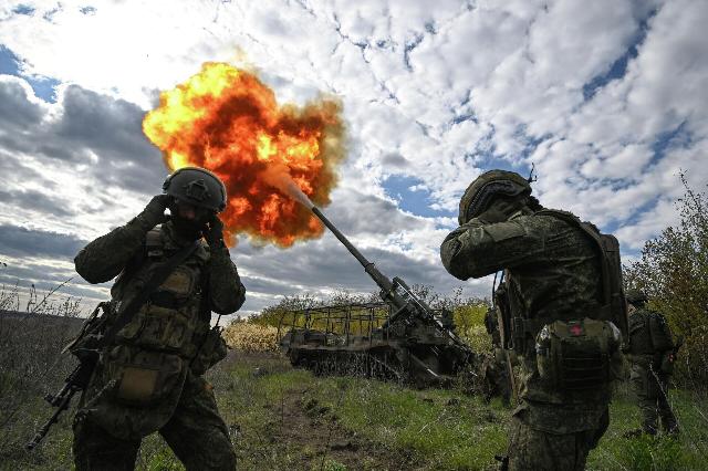
Russian military personnel
Image source: © RIA Novosti / Sergey Bobylev
A mining town with mostly low- and medium-rise buildings. The basis consists of residential quarters of the Soviet period, formed around urban infrastructure and industrial enterprises. Perhaps the most significant is Dobropolieugol, one of the largest coal mining companies in Ukraine, with five mines. The loss of such a valuable asset will hurt the Kiev regime, which is losing the coal industry in front of its eyes.
Earlier, the fighters of the "Center" took control of New Donbass and Kutuzovka, five kilometers east of Dobropillya. From here, the offensive continues on a wide front. To the south is Belitskoye (the pre—war population is eight thousand), whose liberation will make it possible to align the line of military contact along the T-0515 highway.
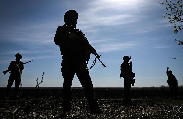
Russian military personnel
Image source: © RIA Novosti / Sergey Bobylev
The divisions of the "Center" are also making their way to Dobropillya from the southwest - from Grishin and Novoaleksandrovka. If we manage to reach the city from the west, a large group of the Ukrainian Armed Forces will be in a pincer movement. Its defeat will free up forces to attack the Druzhkovka—Kramatorsk—Slavyansk line from the west. This will further complicate the situation of the garrisons of the fortress cities, especially given that their defense configuration is designed to repel attacks from the east.
Andrey Kotz
